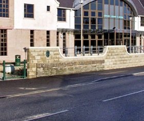
If you walk along Junction Road to Orkney Library & Archive this morning you can't get in because we're closed ( ). But if you came here 150 years ago you would have had very wet feet because this was the sea and Junction Road wasn't here at all (
 ).
).
A short thread:
 ). But if you came here 150 years ago you would have had very wet feet because this was the sea and Junction Road wasn't here at all (
 ).
).A short thread:
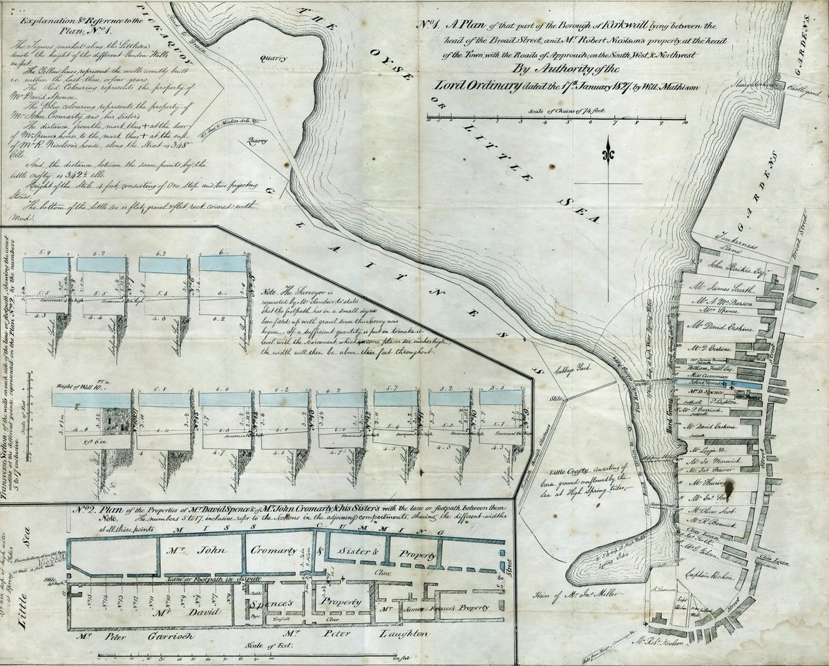
This beautiful map from 1827 shows where Kirkwall met the sea, right across the road from where Orkney Library & Archive now stands. The map was created by Will Mathison for use during a legal dispute between two neighbours arguing over a right of way.
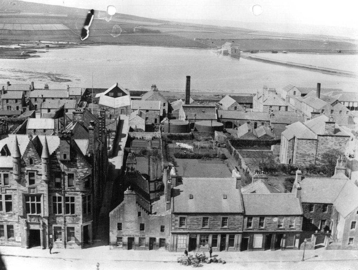
It was not until 1865 that the sea was pushed back and Junction Road was built along the shore. It is just visible in this Tom Kent photograph, taken from St Magnus Cathedral at the turn of the 20th century. The building in the centre with the chimney was the gasworks.
But we are even further into the sea than that and in the early 20th century the sea was pushed back even further with the construction of Great Western Road as shown in this aerial view from 1931. The site where Orkney Library & Archive now stands is marked.
This video shows the progression of this part of Kirkwall from above, from the drawn chart of 1827 to the street maps and satellite views of today. The sea has been pushed back to form what is known as the Peedie (little) Sea. The round area is a boating pond, built in the 1970s.
This video shows how the view shown in the Tom Kent photo looks today. Looking west from St Magnus Cathedral you can see Broad Street then Junction Road with Orkney Library & Archive. Behind that is the power station on Great Western Road and then the Peedie Sea.

 Read on Twitter


 )
)


