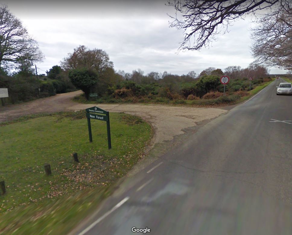
Recently I spotted this piece of concrete just off the A337, south of Brockenhurst in the #NewForest. Concrete at the entry to forest tracks is hardly unusual, but having stared at many lumps of #WW2 concrete, this one piqued my interest (short thread). https://www.google.co.uk/maps/place/50%C2%B047'33.3%22N+1%C2%B034'05.7%22W/@50.7925869,-1.56944,332m/data=!3m2!1e3!4b1!4m6!3m5!1s0x0:0x0!7e2!8m2!3d50.7925855!4d-1.5682404?hl=en
It’s quite curved, only really serving access for traffic coming from one direction – the A337 – and then turning back on itself, returning traffic to the A337. It’s a turning circle.
A 1946 RAF photograph captures it well: a recently laid concrete loop with hardening on the A337 itself. On pre-1930s maps the junction layout is much simpler, with a straight entry to the forest track and no indication of this loop. It's clearly a #WW2 addition.
So what’s it for? Well, immediately north of here are D-Day Marshalling Camps B7 and B8. The black arrow shows an area of vehicle hardstanding alongside the road for vehicles, fragments of which are still visible. The location of the turning circle is marked in green.
The narrow A337 was an arterial route to Embarkation Hard A in Lymington, but it doesn’t offer many easy opportunities to turn around, especially amongst busy convoys. This concrete loop provides a useful function for traffic management.
(Photo is actually Gosport)
(Photo is actually Gosport)

 Read on Twitter


