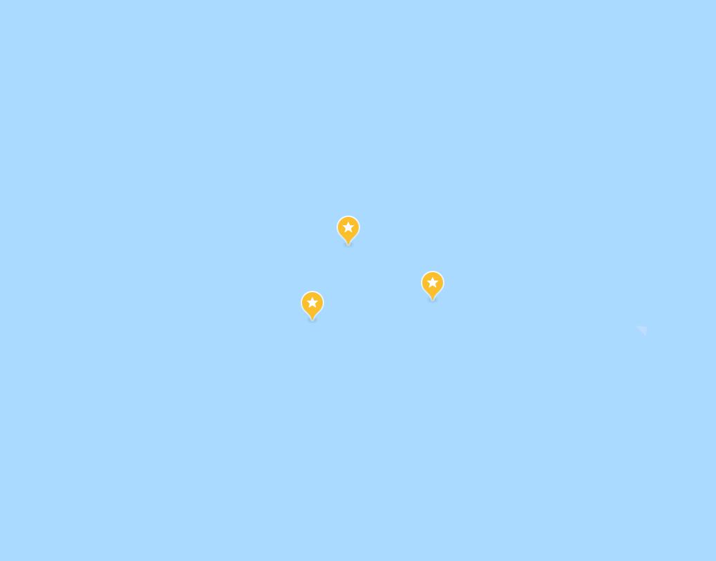
as i learn about polynesian navigation, my saved places are starting to look like this (those are islands).. it's incredible how invisible oceania is to a product like google maps
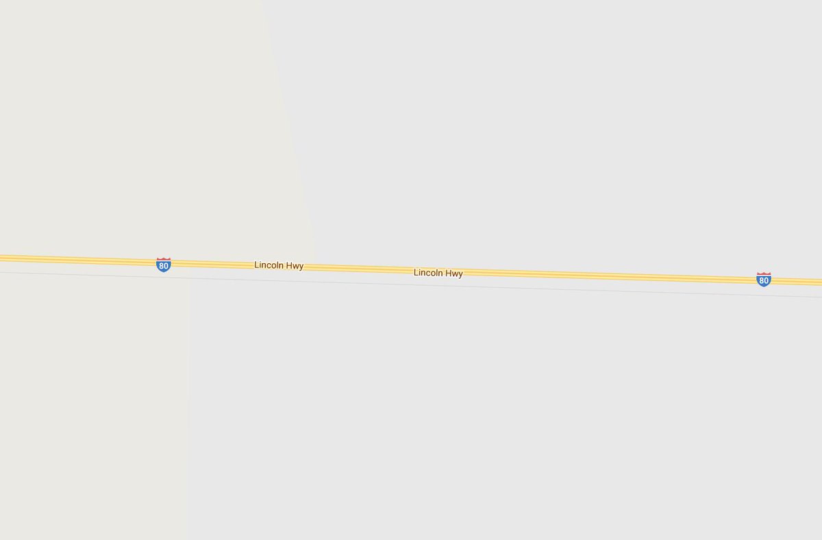
we pay attention to the things that are marked, indexed, and catalogued. that google renders this as an empty blue space says so much about our awareness of the ocean. in the midst of an otherwise featureless salt flat, we show the highway..
..the ocean has just as much structure, if you know what to look for. imagine if google maps was invented in the marshall islands, and that empty blue was full of stick charts? like the highway map, showing navigators hints and waypoints for their journey
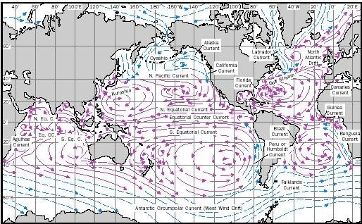
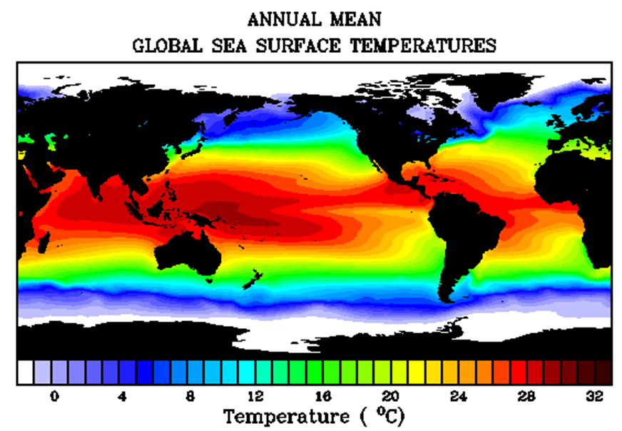
..or maybe currents? temperature? migratory routes of turtles? there is so much happening. and of course it's not rendered, because google maps is not how you navigate the pacific! but without this shown in any way, it's so easy to forget that the ocean is more than a blue blob.
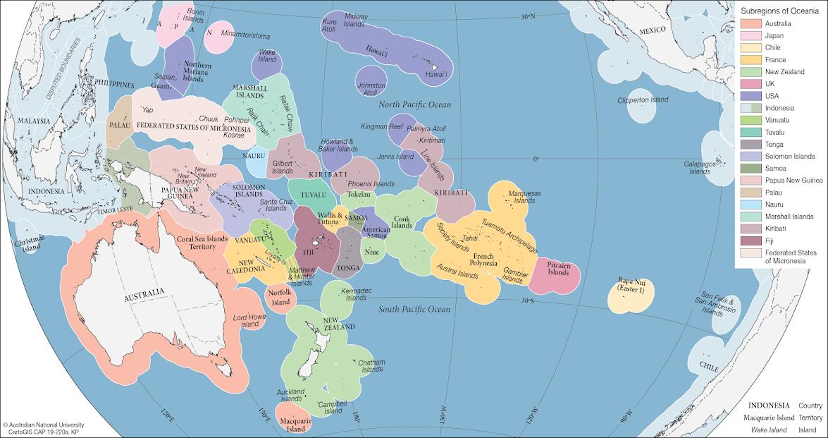
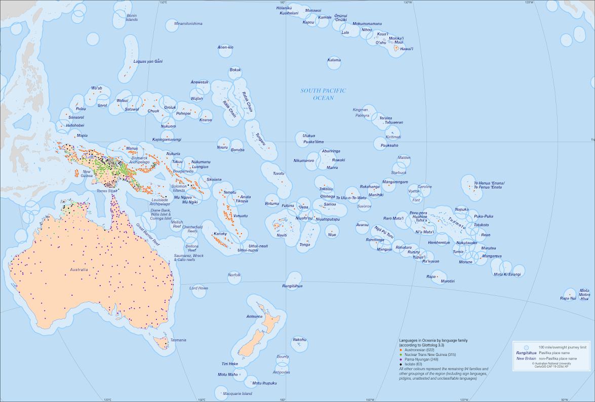
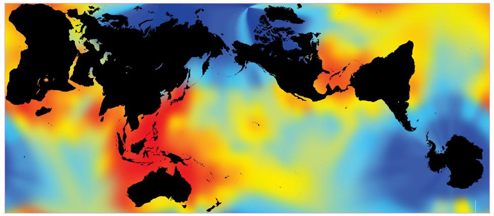
work from @laserhedvig and karina pelling mapping the pacific by economic zones, overnight voyage distance + language families, marine biodiversity https://sites.google.com/site/hedvigskirgard/pacific-maps/pacific-maps-old
i mean.. an entire pacific island nation can be represented as empty blue space, and yet this is the local electronics store?
shout out to @openstreetmap which handles the pacific better, thanks in part to crowd-sourced annotations (the one label "Tahua" on google maps is incorrect)

 Read on Twitter